|
Huizen to Naarden and back.
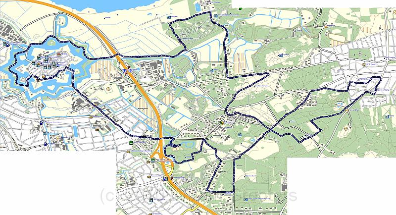
| The track on the map; We started on the right edge, then south, next North towards the Gooimeer, from there to Naarden vesting that we circumvented, and from there, more or less east with a diversion South, next east and due North, and finally Northeast, and crossed the road we ent on in the mroning. | TopoNL.jpg | 2304x1251px | 508kB |
 |
| Total images: 24 | Last update: 28-Feb-2010 22:10 | Help |