Lunteren – Overwoud

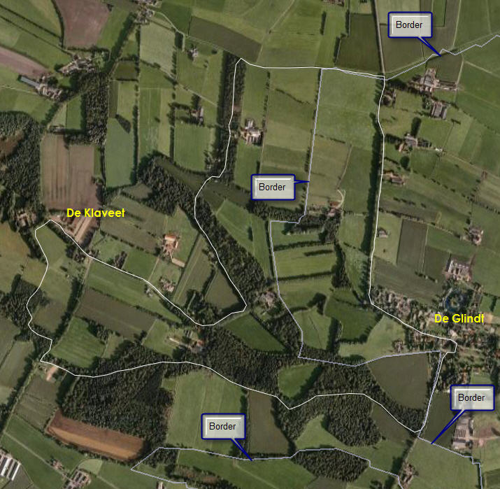
Another two walks, set up by Tourist Offices in the area: Lunteren and Overwoud. These are two loops that share about 300 meters we didn’t do. We simply crossed the street after having coffee at “‘t Hek”.
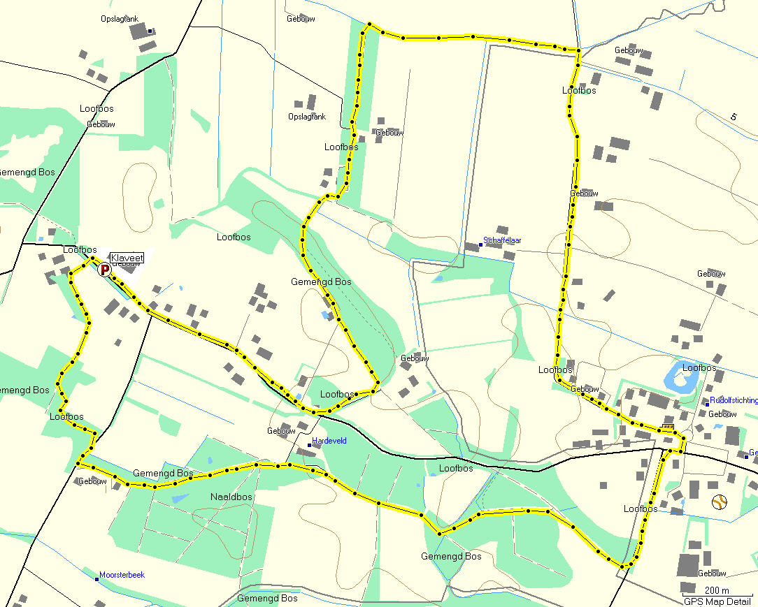
The route crosses mainly the rural area of the ‘Gelders Vallei’, the low area between the high grounds of the Veluwe in the East, and the Utrechtse Heuvelrug in the West. It traverses the outskirts of the veluwe just before Lunteren.
This area is famous (for better of for worse) for the vast amount of pig-farms. A large amount of these farmers had thier livestock killed preventively on the pig’s pest outbreak a few years ago. Still, there are a lot of large pig farms, some even expand.

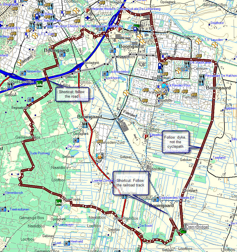
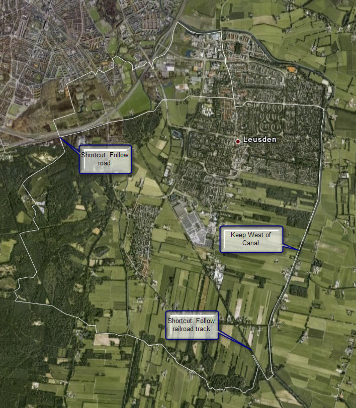
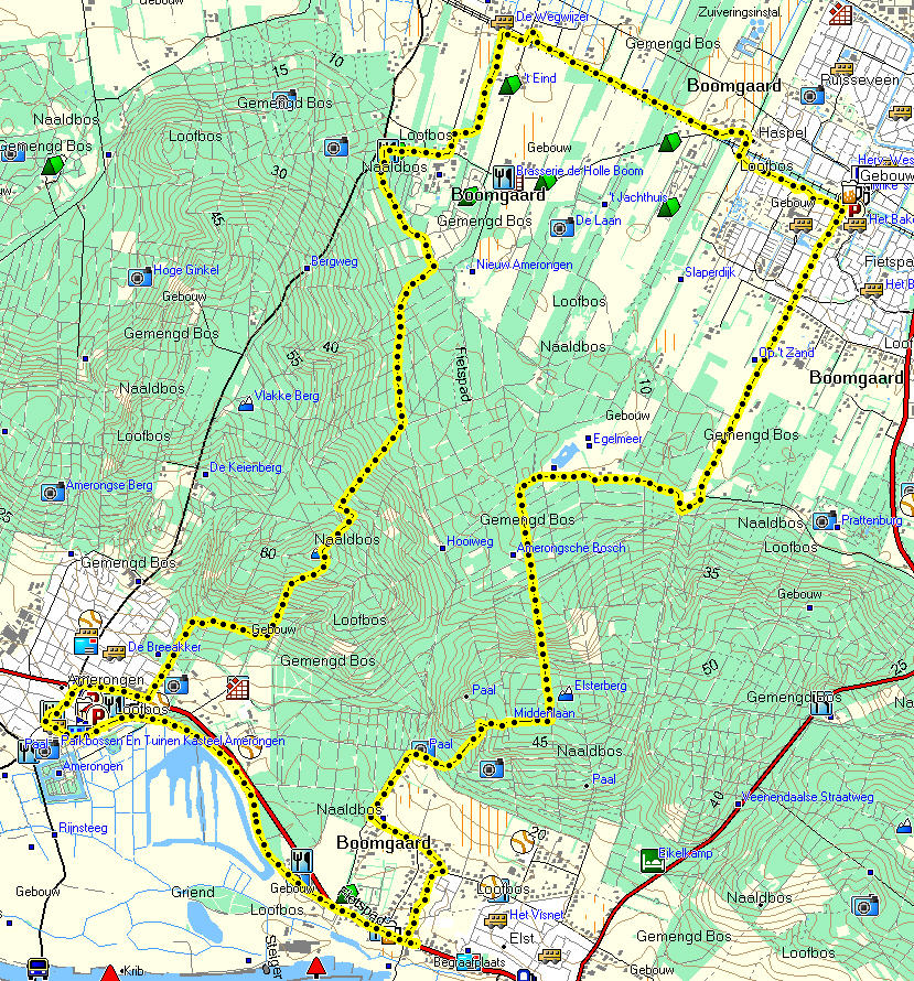
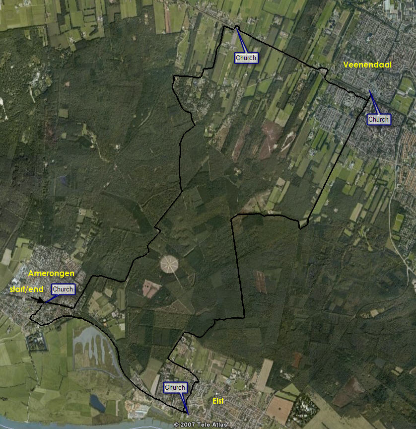
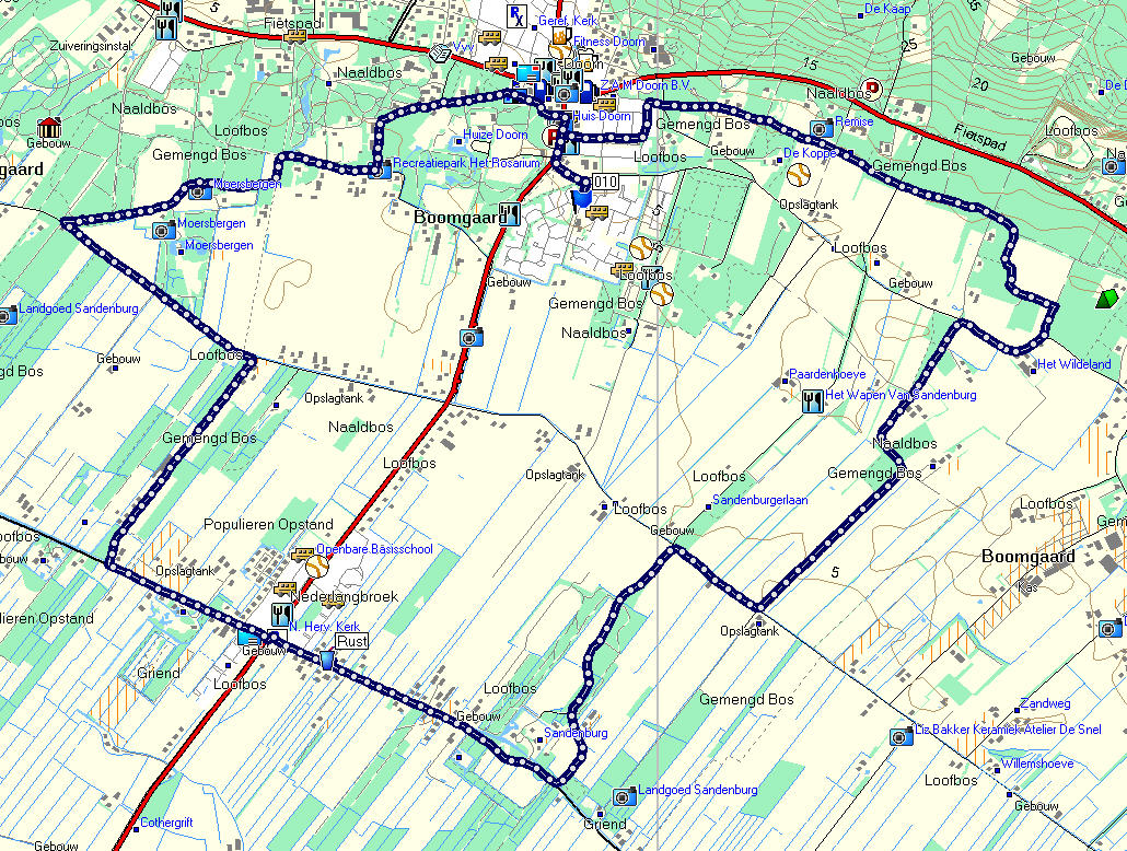
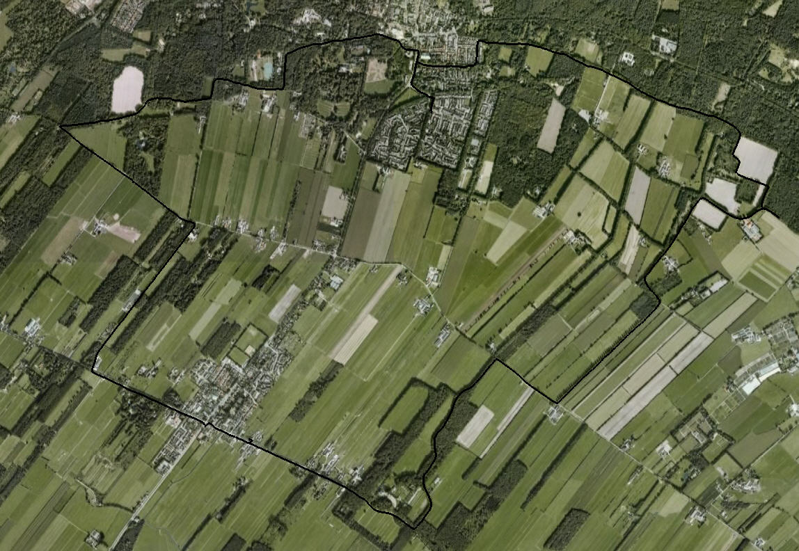
Some images are presented, as well as the track in Garmin, GXP and CSV format.

(The track has been published in the booklet “Boerenvalleiroutes – Wandelen in de Gelderse Vallei”, by Veluws Bureau voor Toerisme, RGV/A+T Veluwe, 1999. This booklet holds some background information of the area as well)

Klompenpad Achterveld

“Klompenpad” is the name given to local walks – most of them round trips of 5 to 10 kilometers, some are a bit longer. Most can be combined to longer walks.
This is one near the village of Achterveld. Parking is available near De Klaveet – a party center.
The tracks can be muddy at times – waterproof footwear is highly recommended in wet conditions.
Map and projection are available, as well as track data in Garmin, GXP and CSV dormats.

Around Leusden (2)

One of the inevitable routes follows the dike aside the Valleikanaal. If you keep the high grounds on the westside,you’ll be able to get off the dyje over a narrow footbridge to the old railroad track. Either follow that track – partly over the old track, partly on the road aside it. Or get off at the first opening, turn left and follow the forest track. There are several ways to continue, one is following the long distance patyh of the Utrecht Pad through the woods of Den Treek. At end, you can cross the highway into amersfoort and find your way to the station (and contiue the Marskramerpas to Leusden), or follow the road aside the highway.
This is the map of this walk, and it’s projection on GoogleEarth – and the Garmin, GPX and CSV fomat tracks.

Maarten Luther

This is a yearly event: The first Sunday following October 31 – Reformation Day – there is a walk in the Southern part of the province between a number of Protestant churches. This the 2006 edition, that started in Amerongen. You can park opposite the castle entrance.
The maps according Mapsource and Google can be downloaded as well as the tracks in Garmin, GPX and CSV format.

Groenekan-Den Dolder, vice versa

We walked from the parking place near the sporting facilities west of De Bilt (also known as “Groenkan”) to Den Dolder, partly through woodland, partly through inhabited areas – big houses. The whole route was said to be about 25 kilometers but in fact it turned out to be about 20 all together. Most of the way back, my GPS lost signal so I had to reconstruct the track on the computer. These are the tracks in Garmin, GPX and CSV format – and these are maps and the few pictures I took.

Around Leusden (1)

Last year, we walked from home to Achterveld – a village in the same parish – following smaller roads and a path along a stream. Back, we followed the normal road except for one detour, where we used a farmer’s road. All in all, the walk ia about 20 kilometers, and in wet conditions, the path along the stream can be very muddy and slippery. Waterproof and well profiles shoes are recommended.
The images can be found here. There are no other resources (at the moment)

Geldermalsen

This as another walk set out by a local walking group, this time in the area between Rijn and Waal, from Geldermalsen southward to Neerijnen, following the dike to Waardenburg, directly below the motorway, then back North to Geldermalsen. All in all just over 25 kilometers, in nice weather.
Some pictures were taken, and of course the track can be downloaded in Garmin, GPX and CSV formats