
Track of today on the map
Track of today.

Track of today in satellite
The track projected in the terrain, showing (more or less) where the images were taken.

Only remaining part of a ship bridge that crossed the Rhine at this point (near Praets)

Arnhem skyline

Into the Lingezegen recreation area

Floodplain

Bushland

Southern lake ("Zuidelijke plas")

At the junction

Observation hut
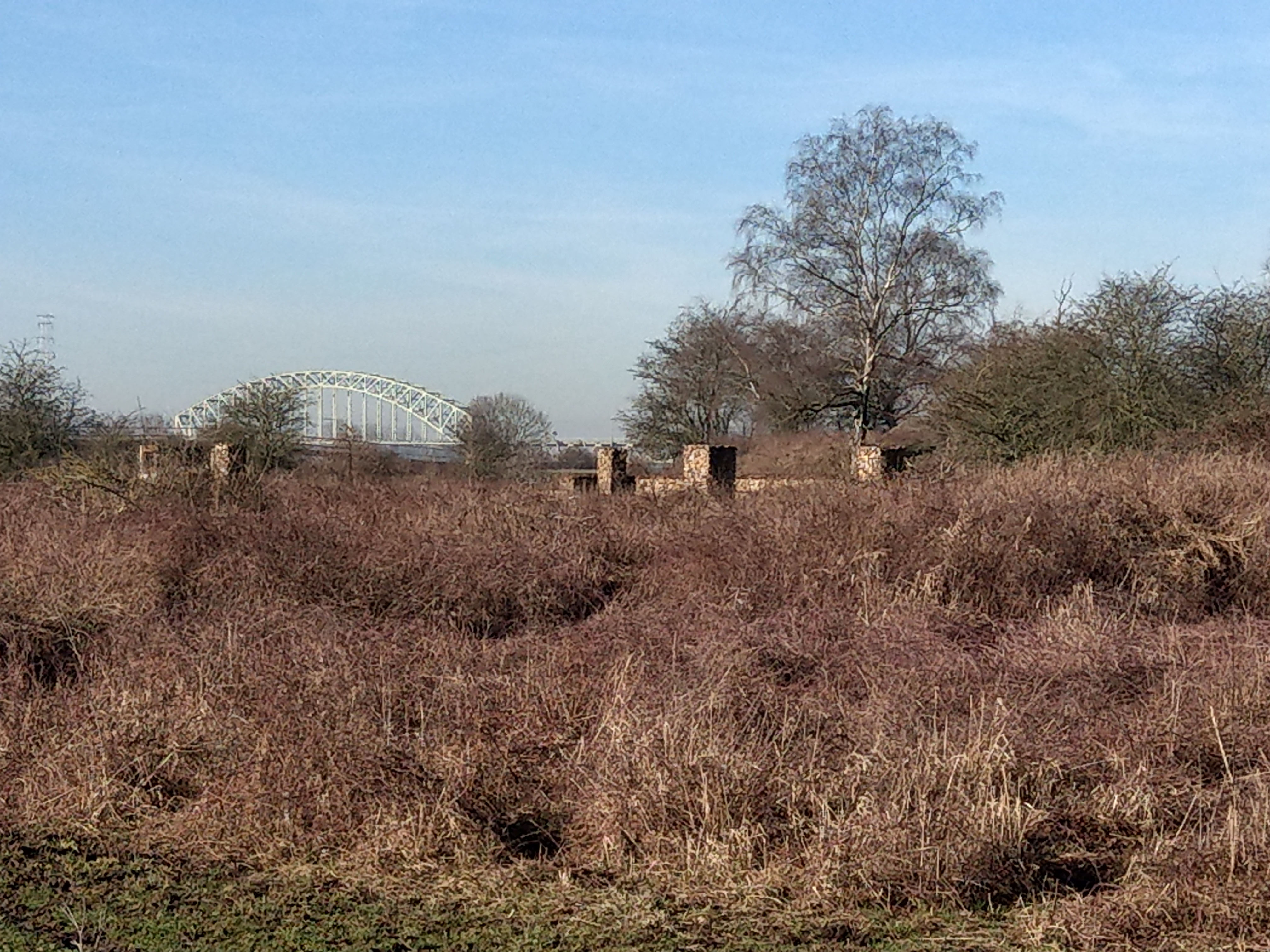
Behind the bushed is the Castellum at Meinerswijk ...

... at the end of the lakes

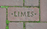
Old brickworks

Defenses: Use a tank gurret

Castellum as it is interpreted

Another bunker

On the track between the road and the brickwork

Full circle view of Meinerswijk reserve

Signpost - in case you were lost

Pumping station at the dike


