|
Vuursche
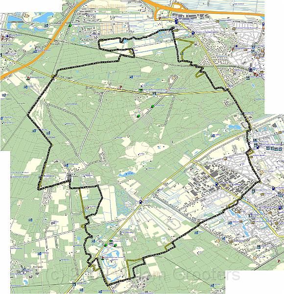
| The track in MapSource - in yellow: the intended route accoring the waypoints. But at some points, we took a diversion - mainl;y because we missed a turn, or we had to pass along an area where dogs are not allowed. | TopoNL.jpg | 1698x1755px | 639kB |
 |
| Total images: 27 | Last update: 19-Oct-2009 20:18 | Help |