|
Markelo-Rijssen
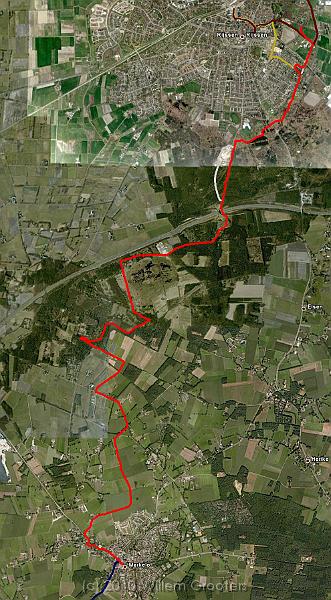
| The route projected ion Google Earth, showing the connections of earlier walks (blue, from Goor to Markelo) and dark red (from Rijssen to Nijverdal) - this was the missing gap. The numbers refer to the approximate location where the pictures are taken. |
 |
| Total images: 36 | Last update: 01-sep-2010 06:54 | Help |