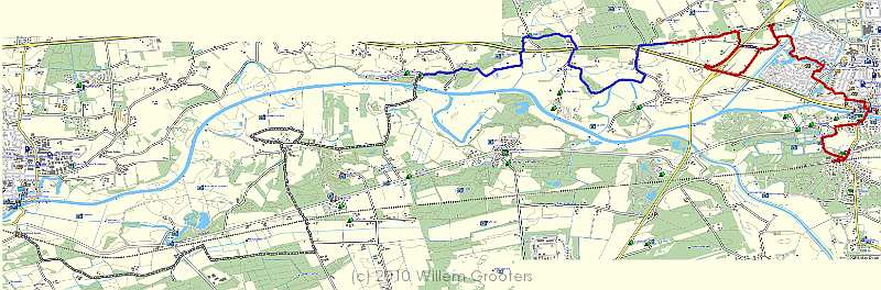
Up Ommen-Dalfsen Prev Next Slideshow

Ommen-Dalfsen
The track projected on the TopoNL maps in Garmin shows the path follows the old Vecht streambed - north and south. We had two stops on the way - where the track colors change.

 At first page  Next image  Index page  Original Image [TopoNL.jpg - 547kB]


  TopoNL.jpg - The track projected on the TopoNL maps in Garmin shows the path follows the old Vecht streambed - north and south. We had two stops on the way - where the track colors change.  
Google
01-Avenue
02-HetLaer
03-LaerHoeve
04-Bruggehuis

Total images: 67 | Last update: 23-aug-2010 20:48 | Help
Havenzatepad Track 8