|
Rijssen-Niverdal
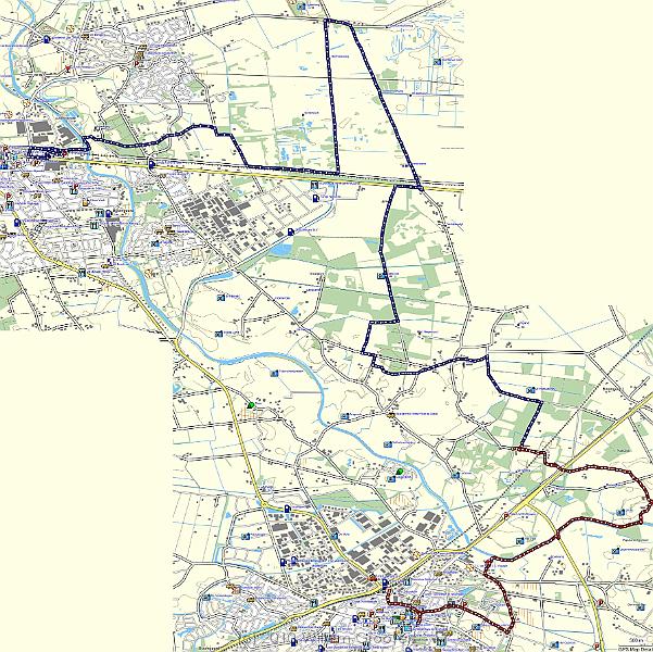
| The route on Garmin's Dutch topological map. The red part is actually tracked but the battery wore out - the blue part has been drawn following the booklet. But it is the route we walked. |
 |
| Total images: 39 | Last update: 08-Aug-2010 11:01 | Help |