|
Rheinsteig
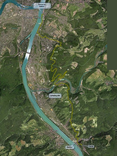 |
| Google Earth revealsthat once on top, most of the route passes woodland, or rural fields later on. I could estimate the images because there are some clear waypoints... |
| Total images: 56 | Help |
|
|
|
| Google Earth revealsthat once on top, most of the route passes woodland, or rural fields later on. I could estimate the images because there are some clear waypoints... |
| Total images: 56 | Help |